Eastern Spinebill, photo Jarrah Pauli
About BICA
Welcome to the BICA (Bend of Islands Conservation Association) website.
BICA was formed in the 1960s and helped save the Bend of Islands from being flooded to form the Yarra Brae Dam.
The BICA objectives are:
To preserve, nurture and encourage the diversity of the native flora and fauna of the area and its natural beauty, consistent with essential community needs, including fire precaution.
To nurture and encourage the diversity of the local flora and fauna and to promote community understanding of the local ecology and how to live in harmony with it through sharing of knowledge and experiences.
To associate and collaborate with other organisations whose aims are consistent with these objectives and to support, where appropriate, conservation activities in other areas.
To act for and on behalf of the membership individually or collectively in negotiations with public authorities, other organisations and individuals within the framework of these objectives.
The Bend of Islands
Bend of Islands is only 30 kilometres north-east of Melbourne and about 20 minutes north of Eltham. It is situated on 634 hectares of natural bushland adjacent to the Yarra River and is part of the Shire of Nillumbik’s Green Wedge Zone.
Bend of Islands is gazetted in the Shire’s Planning Scheme as Schedule 2 to the Special Use Zone, or SUZ2. This zoning applies to all of Bend of Islands and the adjoining Oxley Road. The area combines environmental conservation with residential use and is an unusual combination of land uses in an Australian context.
Without the special zoning and the commitment of its residents since the 1970s, Bend of Islands would almost certainly have become just another area of degraded residential bushland dominated by pest plants and animals. Instead, today it continues to support a diverse range of indigenous flora and fauna species.
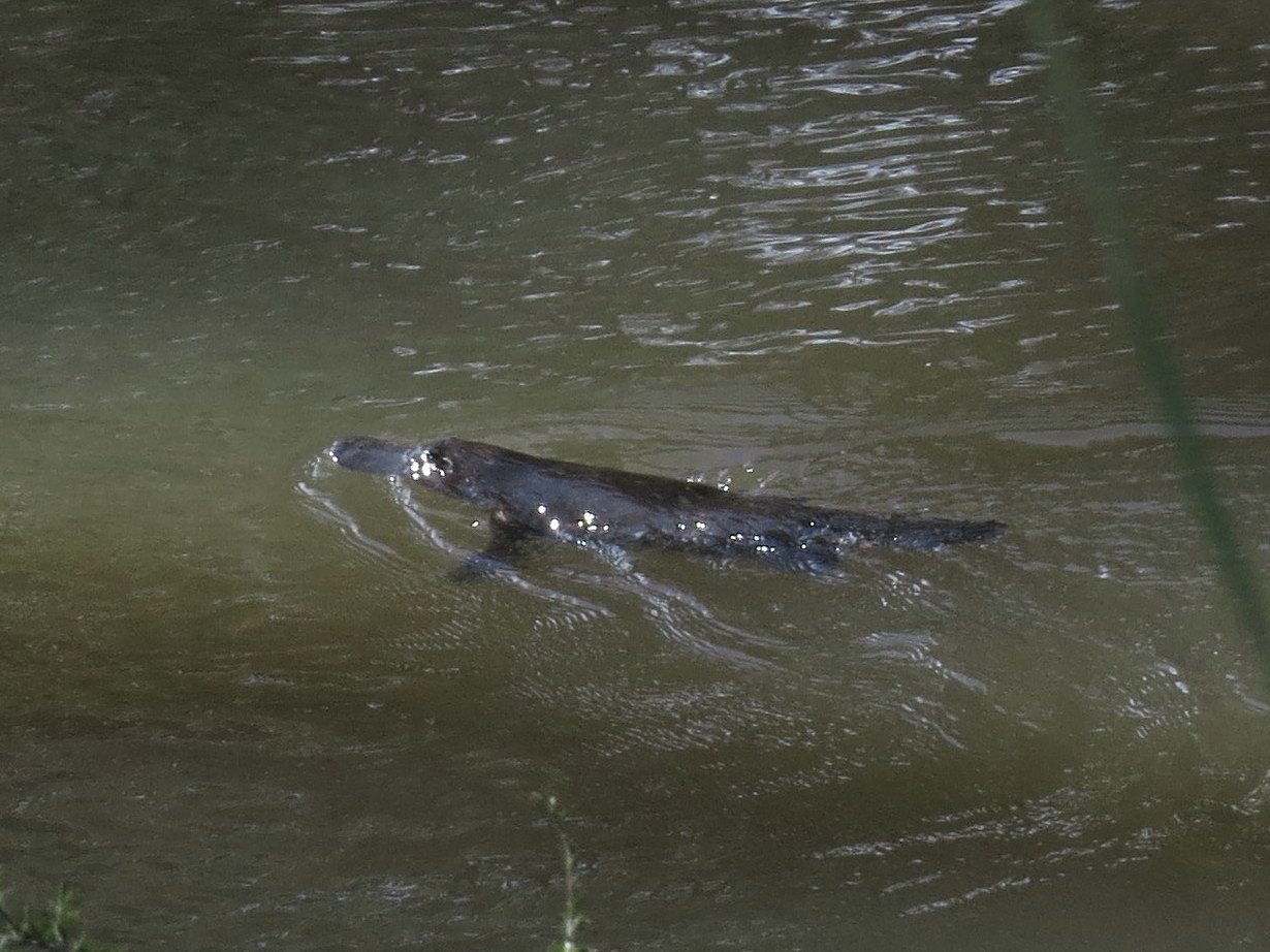
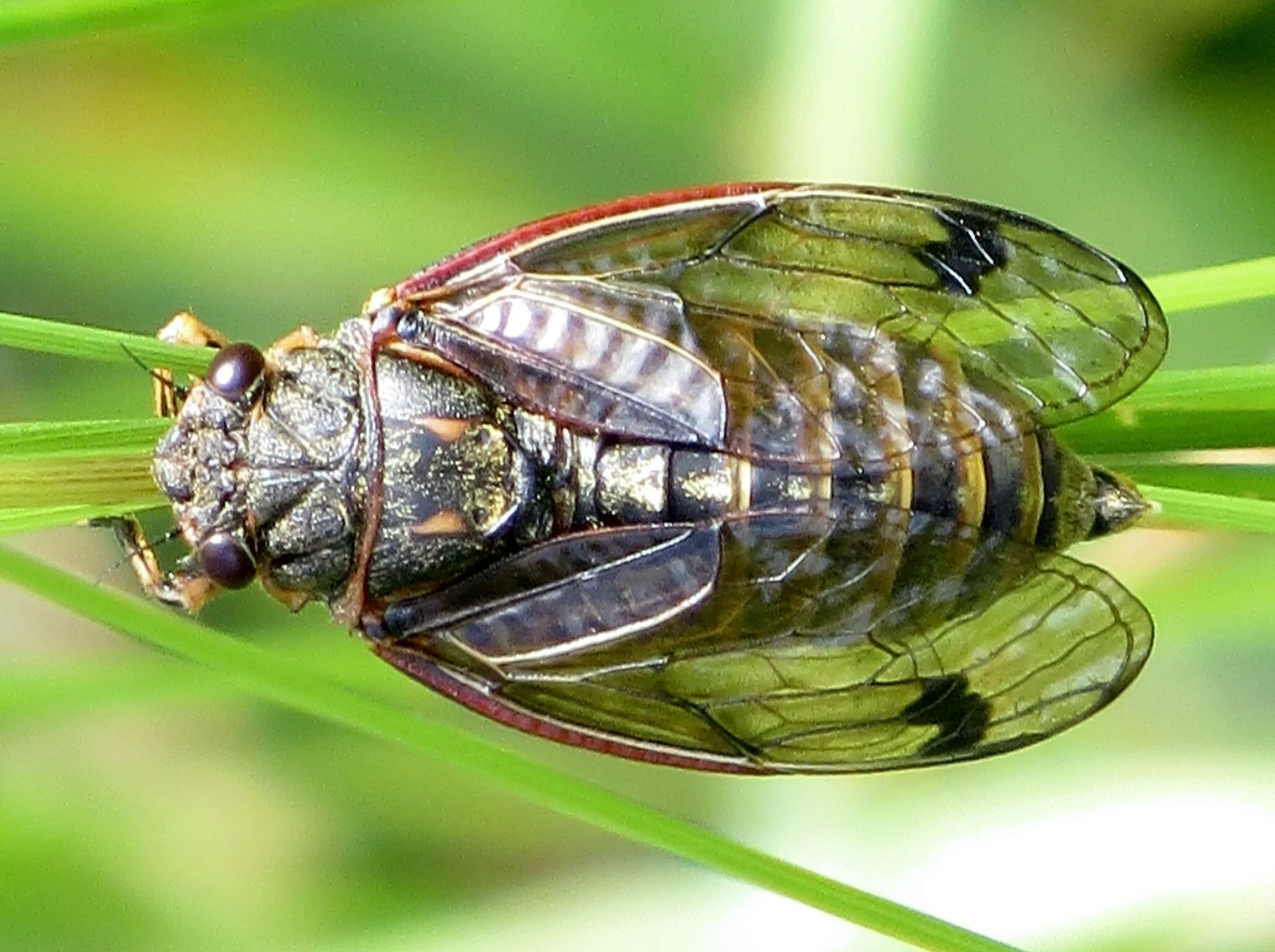
A number of distinct vegetation types occur within Bend of Islands, including Box-Ironbark Forest, Grassy Dry Forest, Valley Grassy Forest and Riparian Forest. These vegetation types support over 500 species of indigenous plants and a wide range of wildlife, including kangaroos, wallabies, wombats, koalas, echidnas, phascogales (tuans), many bats and birds including Powerful Owls and lyrebirds.
Overall Bend of Islands is of very high conservation value, acknowledged by its designation as a ‘Site of State and Regional Botanical and Zoological Significance’ under a previous Regional Strategy Plan of the Upper Yarra Valley and Dandenong Ranges Authority, and as a ‘Biosite of State Significance’ by the Department of Water, Environment, Land and Planning.
Bend of Islands has an important place in practical conservation management that enhances the value of neighbouring Warrandyte State Park and Kinglake National Park. Its residents have also made valuable contributions to the knowledge required to manage this type of bushland.

King Parrot at sunrise, photo Jarrah Pauli.
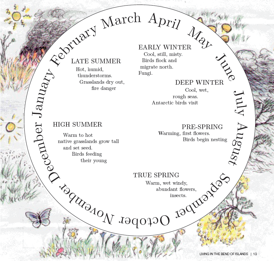
Indigenous Calendar
Wurundjeri had their own way of marking the changing seasons. The European division of the year into four seasons does not fit the Melbourne area.
We still think of winter as an unfavourable time when deciduous trees drop their leaves and become dormant, but for our native flora, especially the small tuberous herbs, it is a season of growth. The bush is green and the temperatures mild. The unfavourable season is summer when much of the ground flora becomes brown and dies off. Water plants such as Cumbungi are usually green in summer and die back in winter.
This indigenous calendar for the Wurundjeri people was compiled by Beth Gott and the artwork is by Damian Curtain.
Why ‘Bend of Islands’?
In 1991, in response to this question, Neville Haughton (the son of Ned Haughton, who first subdivided the land) explained that, since the gateway to the estate had been on the lower part of Catani Boulevard, and alongside it had been the river islands, Neville coined the name ‘Bend of Islands’.
Neville’s statement was verified in a letter from his wife Joan, in which she too stated that the name was coined by him. In that letter she underlined the final ‘s’ in ‘islands’, stating that there was more than one island in the river.
Early parish plans showed several small islands in the river on the eastern side of the estate, one small island on the southern side, and the largest island, Monique Island, at the western edge of the estate.
Impacts of residential development
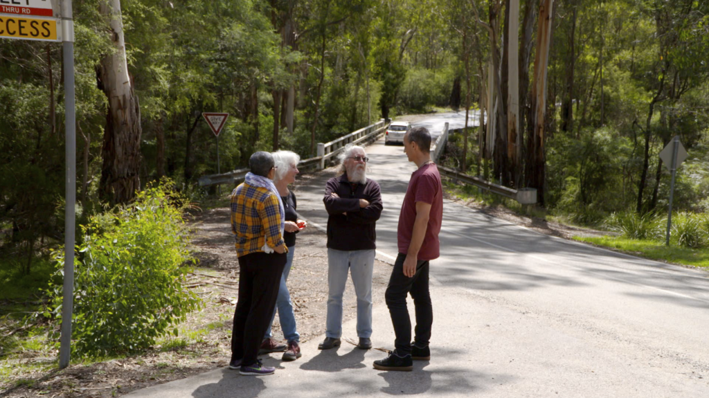
Bend of Islands is home to a strong and vibrant community of about 280 people living in 115 dwellings. Most landholders and tenants are members of the Bend of Islands Conservation Association.
While housing has clearly altered the nature of the area to some degree, the provisions of the planning scheme and environmental ethos of BICA members have ensured that impacts have been minimised and biodiversity in Bend of Islands remains very high. Most residents actively pursue conservation on their own and other land in the area.
Maintaining and enhancing biodiversity values on these properties is very important for the ongoing viability of Bend of Islands.
Maintaining Bend of Islands
It is the commitment of residents to Bend of Islands that makes it a success. This commitment involves community weeding, roadside vegetation enhancement, regular clean-up of the Yarra River and Watsons Creek, monitoring power line management and telecommunications company activities in the area, participation in flora and fauna monitoring and surveying, awareness of threats to Bend of Islands and action to limit or stop them, community education and information sharing, participation in BICA committees, and a variety of external groups important to the success of Bend of Islands and its surrounds.
The involvement of local residents for over 40 years in such activities illustrates the enthusiasm and commitment of the people who live here to ensuring that it works, and their hope that it will go on into the future as a first-class example of living in natural bushland without compromising its environmental values.
The ongoing challenges for Bend of Islands are those of ensuring that changes proposed by local authorities do not detrimentally impact on or devalue it, that foster these goals, BICA tries to stay closely involved in state and local government planning that affects the area. Residents recognise that the provisions of Schedule 2 to the Special Use Zone (SUZ2) under the Shire of Nillumbik Planning Scheme play a crucial role in maintaining BICA’s conservation values.
Educating and involving new residents
New residents are made welcome by their neighbours and by BICA, and they are encouraged to become part of conservation and community events. Even though land and houses can change hands, new residents can very quickly become part of the Bend of Islands community and contribute their time, experience and skills to further the area’s aims and foster its continued viability. We believe we have accomplished something very noteworthy here.
We have worked with state and local planning and environment departments, other relevant authorities, scientists, and, most importantly, ordinary people, to create a unique zone that is significant in both its own right and in a state and regional context. We have gained acceptance and credibility in all these sectors and will continue to address our primary challenge to retain the integrity of this very special zoning so that the aims and aspirations of residents are realised and the future for the area’s native species is secure.
We hope that all landowners and residents will join BICA in pursuing conservation of this unique area we have the privilege to live in. It is through a strong membership that we will have the power, expertise and support to protect and preserve Bend of Islands.
To become a member of BICA, visit the Contact page of the website.
More about the Bend of Islands

Flora and Fauna of the Bend
Our Environmental Living Zone

Bend of Islands History
Window Into Our World
BICA Newsletter Archives
The Bend of Islands Conservation Association has a long history that is well worth delving into. For a place to start, check out our Newsletter Archives, which contain many articles of interest in the Bend of Islands from 1970s onwards.